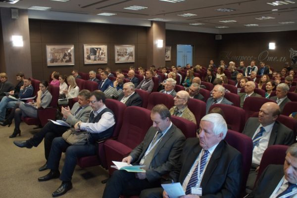
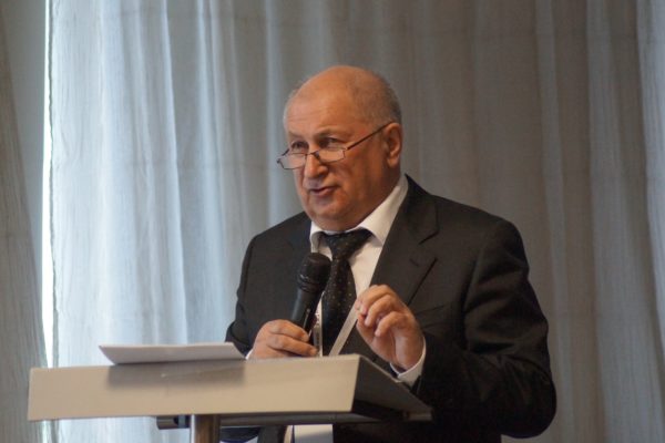
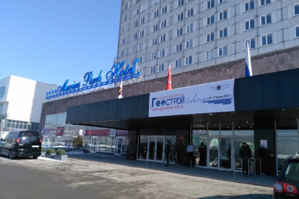
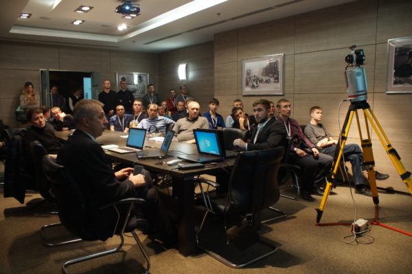
PHEDCS members participated on the International Forum “GeoBuilding-2017”- “Geospatial Solutions for Structural Design, Construction and Maintenance” which was organized by the Novosibirsk State University of Architecture and Civil Engineering (Sibstrin) and Exhibition operator “ExpoGEO” LLC, that was held on 16–17 March 2017 in Novosibirsk, Russia.
This event was aimed at advanced achievements in geospatial measurements, BIM, data interpretation and integration, actual experience of leading Russian and foreign companies used for rational decision-making in structural design, construction and maintenance to provide construction transparency and geometry detailing, to increase data reliability and validity, to reduce the construction cost at all stages of the object lifecycle.
Main areas of the forum are:
- Civil-engineering survey and designing
- Construction and maintenance of highways and aerodromes
- Construction and maintenance of buildings and structures
- Architecture, town-planning and cadaster
- Ecology and urban land management, risk and emergency management
- Housing maintenance and utilities
- Information modeling in construction (BIM, GIS, and digital construction)
The International forum “GeoBuilding” included conferences, workshops on engineering, geological, geophysical and geochemical surveys and information ensuring of construction with participation of representatives from the federal authorities, Russian, CIS and foreign design and construction companies and users, and round-tables.
The forum was attended by 100 industry organizations, including chief executive officers and representatives of national and municipal authorities and business, universities, research institutes, leading developers of measuring tools, software and technologies; scientists and professionals of Russia, as well as Austria, the Czech Republic and Kazakhstan.
This forum was considered as highly relevant and important at the current stage of economy and construction development.
There were made the following proposals:
- To generate the whole construction processes, to carry out continuous geometry control, to record all construction stages, to develop the “transparent” construction, completely switch to 3D technologies for structural design, construction and maintenance;
- To implement actively advanced measuring tools (laser scanners, robotic total stations, UAVs, photography, etc.), which provide highly accurate and reliable 3D data, reduce the cost of measuring works and increase their reliability;
- To give support to teams engaged in the development of rules and regulations for the implementation of digital technologies into construction; to create and support the appropriate regional centers;
- To implement digital construction technologies into curricula, to intensify the retraining of specialists, and to create regional educational centers in universities.
For more details, please follow the link below.


